Explore Our Environmental Impact
Data-Driven Insights on Conservation Efforts
Data-Driven Insights on Conservation Efforts
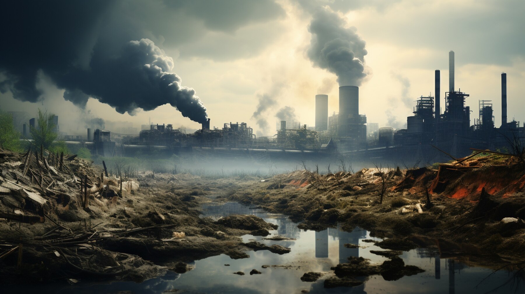
Monitoring PM2.5 and PM10 levels to track air pollution.
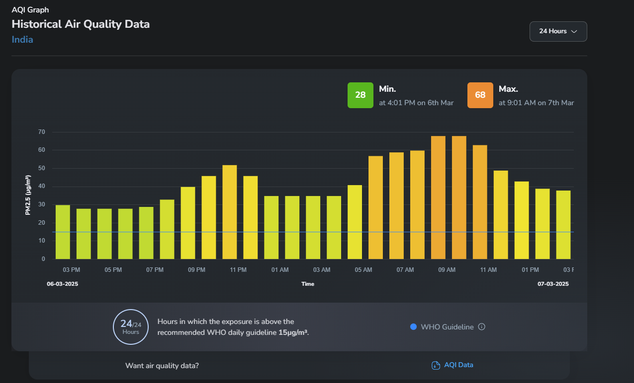
Track real-time AQI levels for specific states, regions, or cities. Stay updated with the latest air quality reports.
Detailed analysis of carbon emissions from various states and regions. Explore key contributors and trends over time.
View Report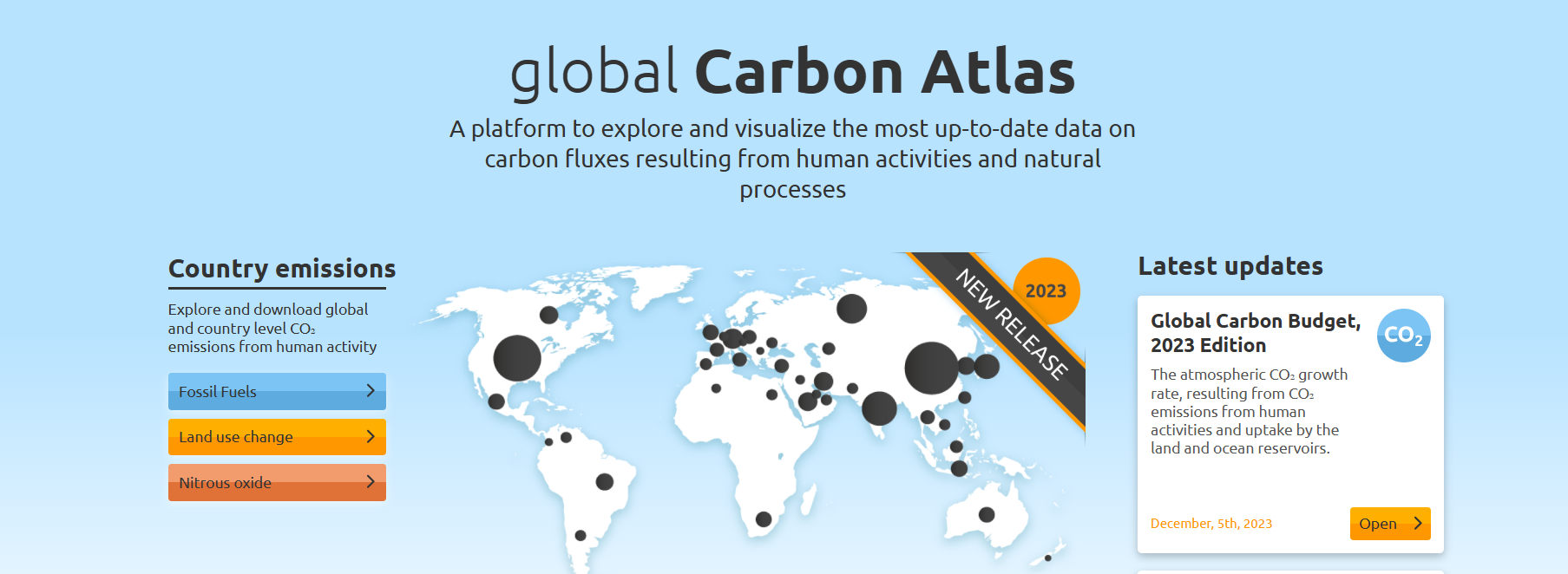
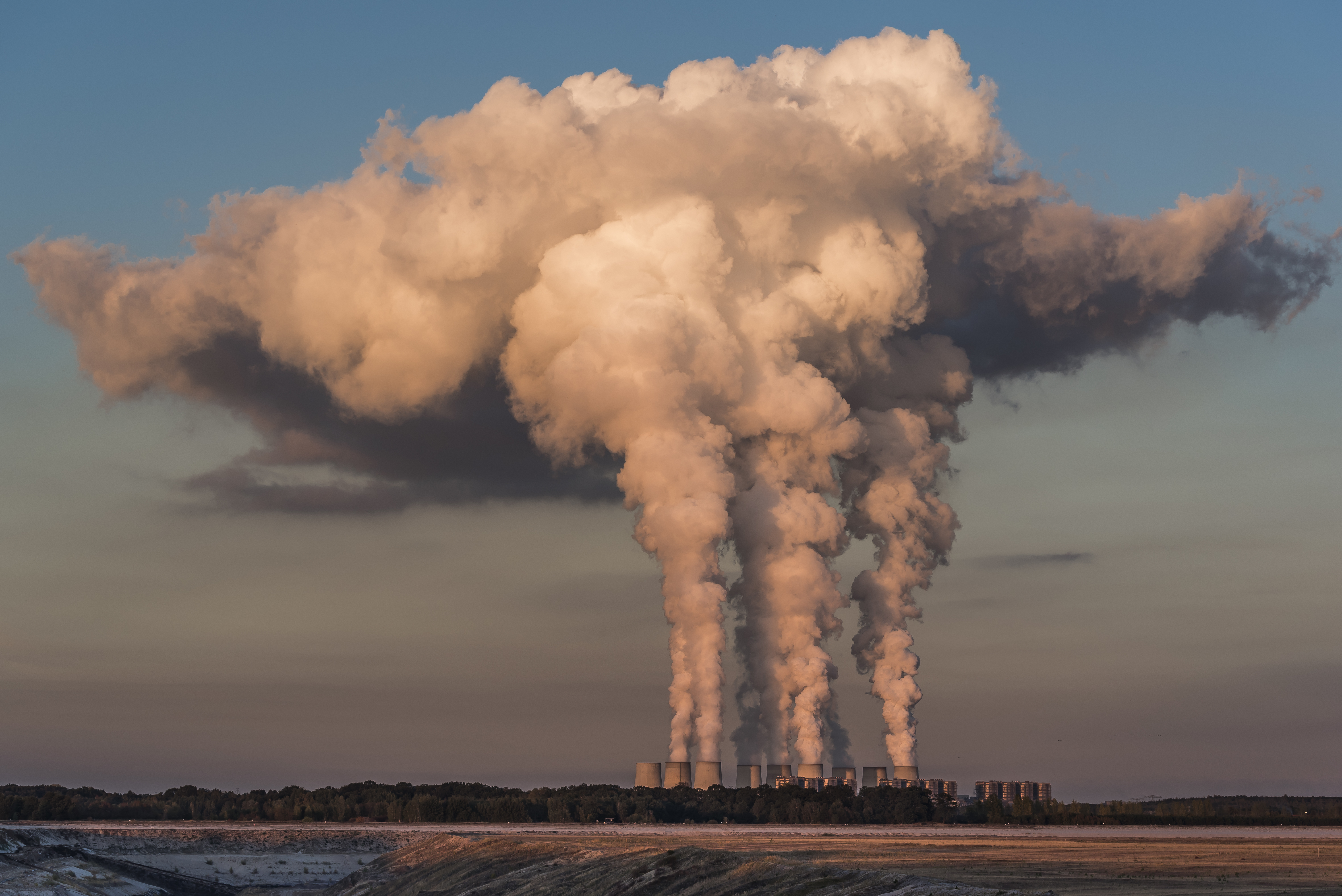
Sector-wise CO2 emissions data including transport, industry, and energy. Based on reports from MoEFCC and Global Carbon Atlas.
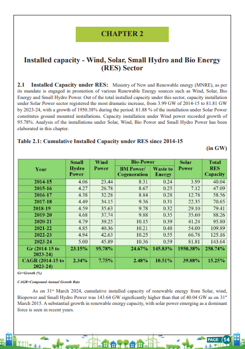
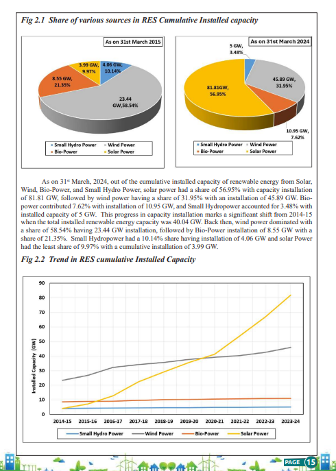
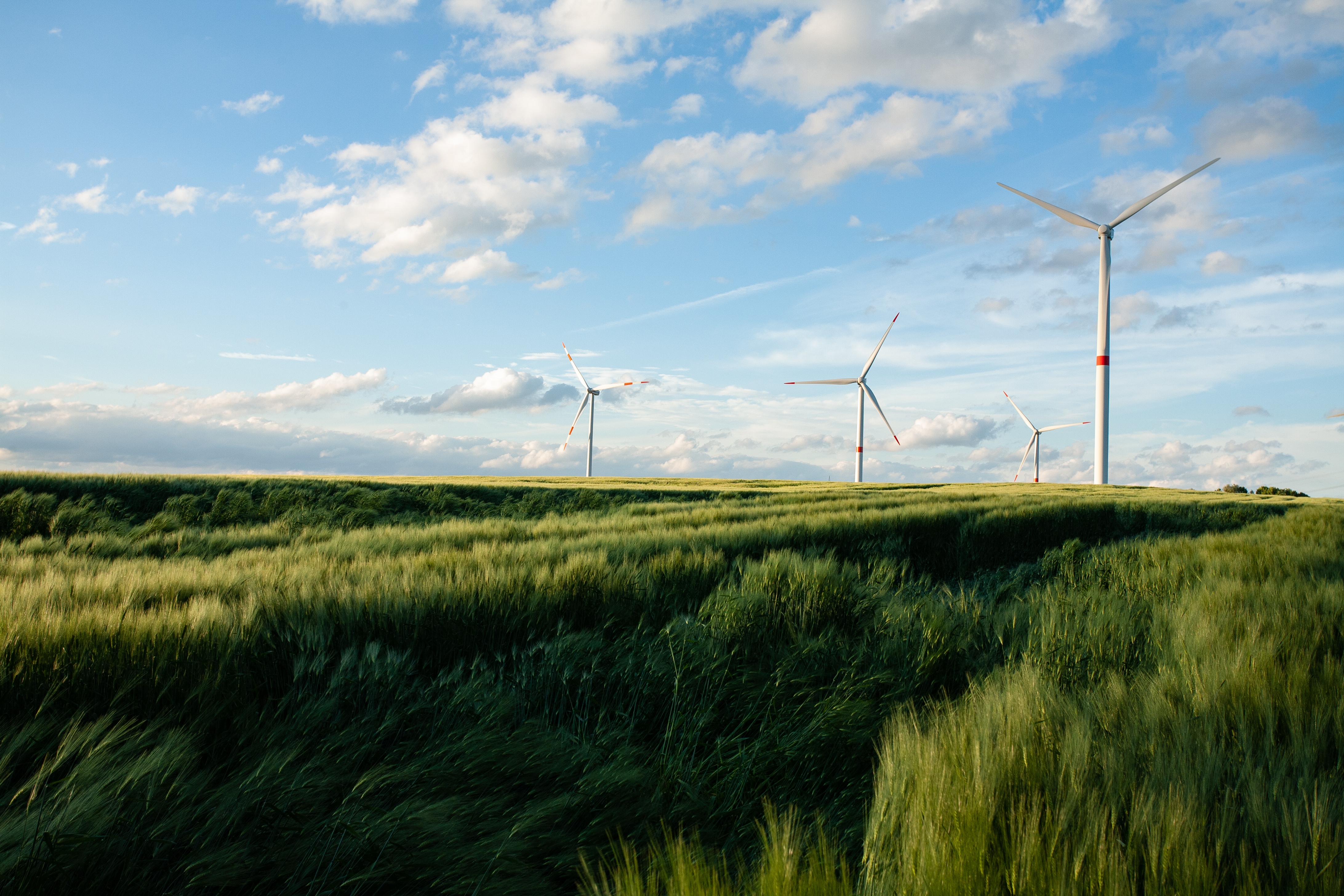
Detailed data on the percentage of energy generated from solar, wind, and other renewable sources across various states.
View Report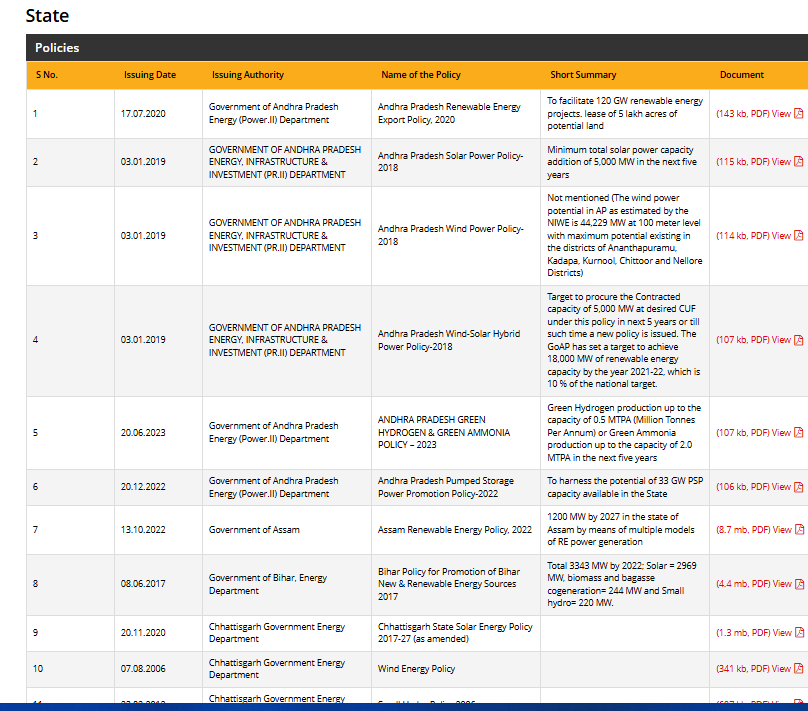
Explore ongoing and upcoming renewable energy projects across states, including solar farms, wind parks, and hydro plants.
View Projects
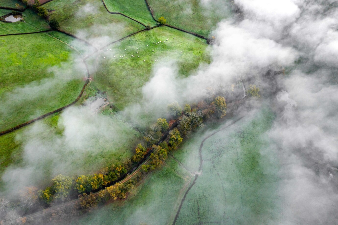
India's total forest cover is around 21.71% of the geographical area. The forest cover includes protected reserves, national parks, and state forests.
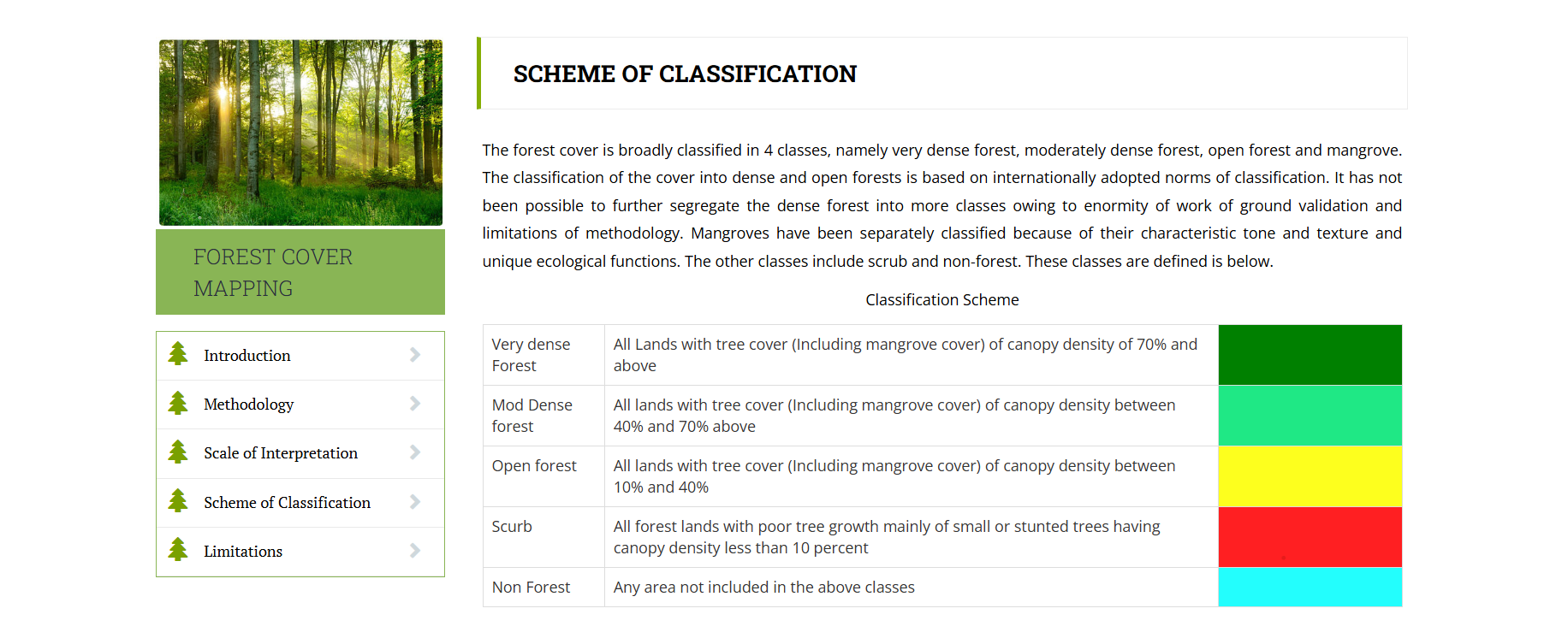
Forest density in India is classified into three types: Very Dense, Moderately Dense, and Open Forests.
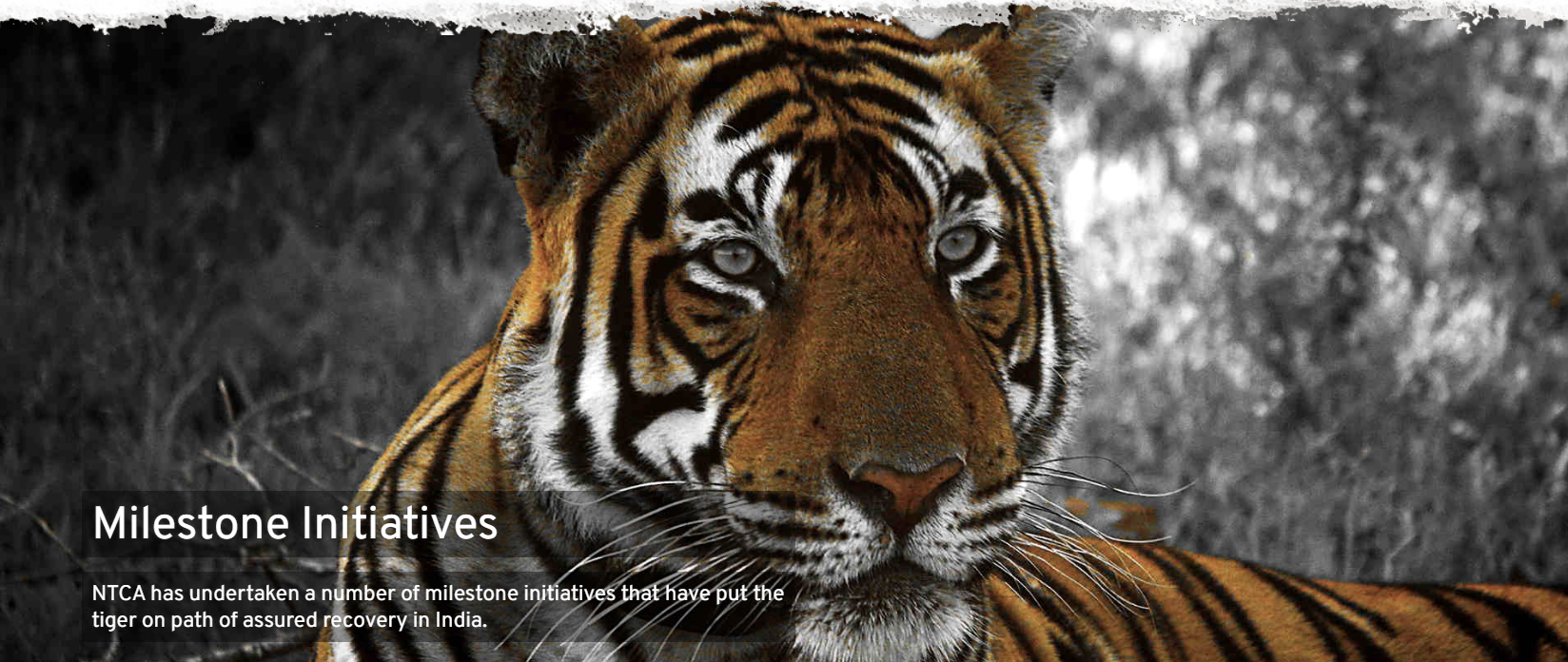
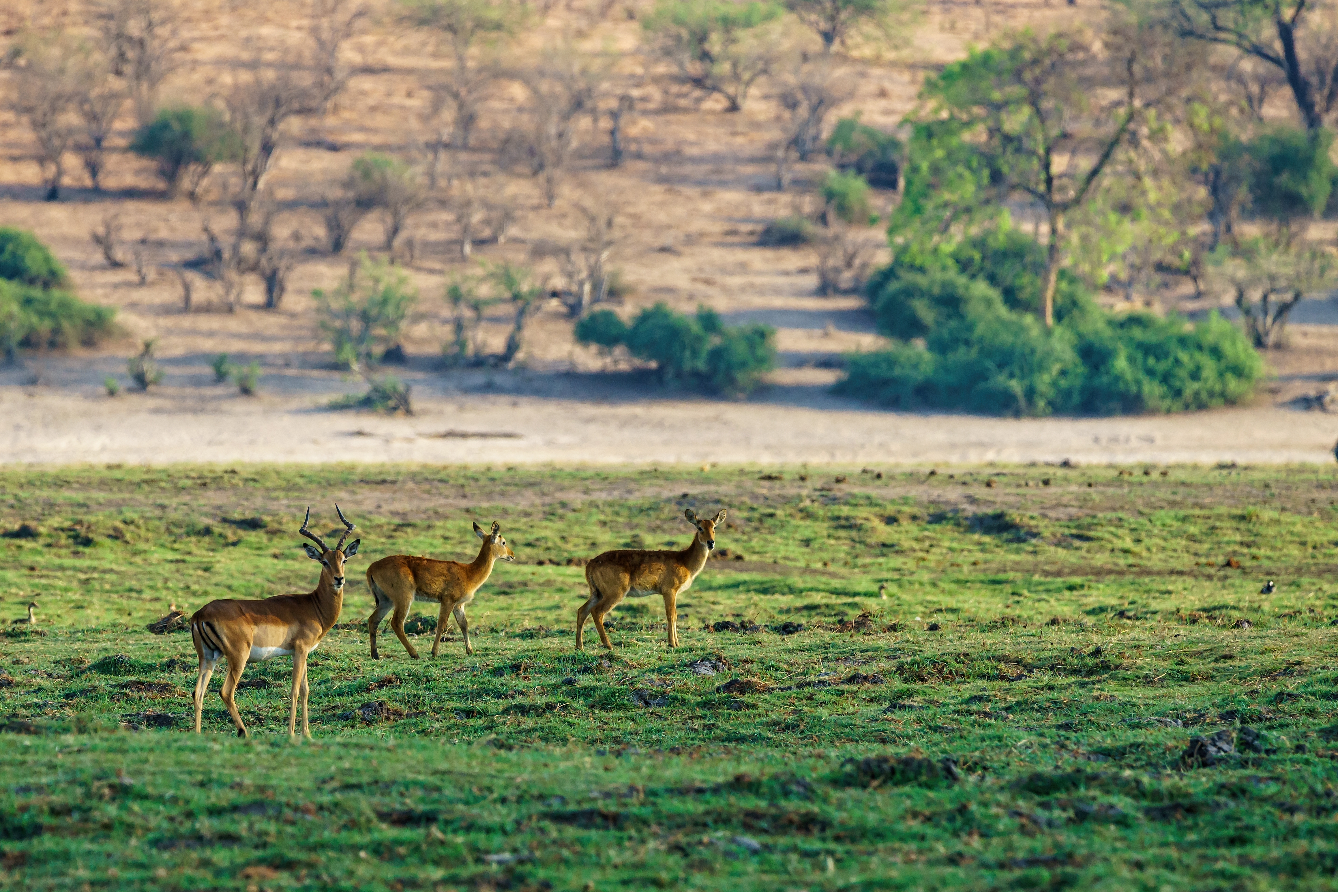
Data for endangered species such as tigers, elephants, and leopards, highlighting conservation efforts and population trends.
Project Tiger Report – NTCA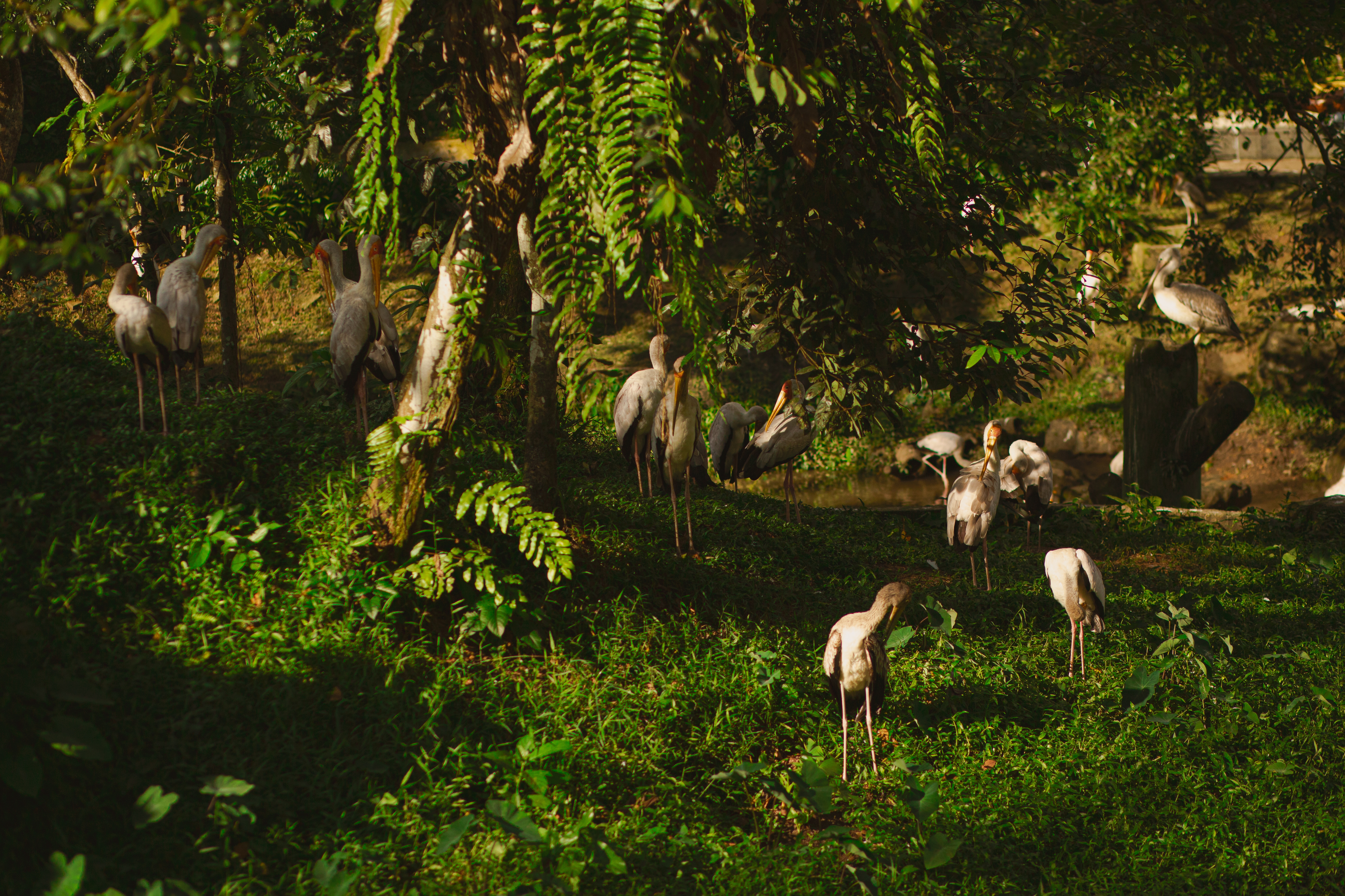
Explore dedicated projects focused on the protection and recovery of endangered species.
Wildlife Institute of India (WII)
Explore afforestation projects under the Compensatory Afforestation Fund Management and Planning Authority (CAMPA).
CAMPA Annual Report
Get data on the extent of land area affected by deforestation and ongoing efforts to mitigate the loss.
National Afforestation Program Reports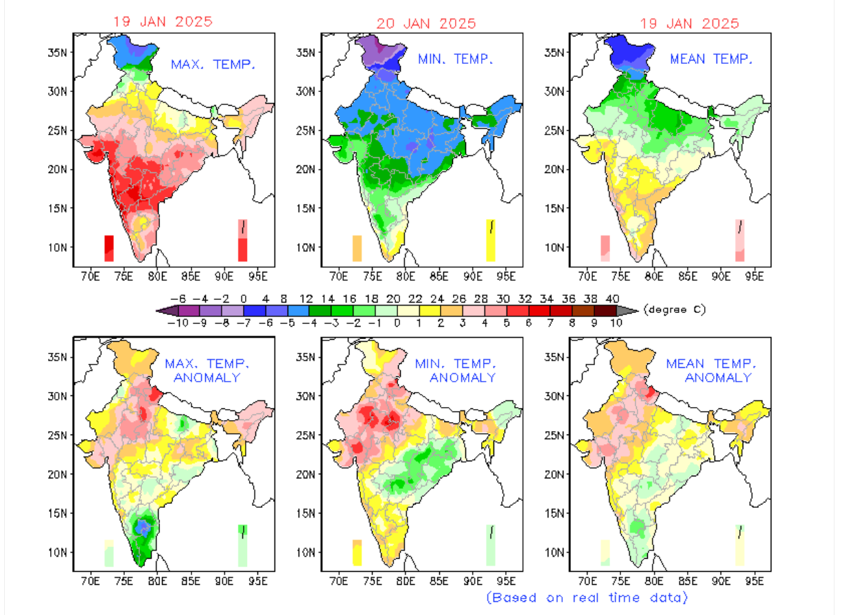
Explore temperature anomalies recorded across different states and regions, highlighting variations and trends.
India Meteorological Department (IMD)
Track seasonal temperature patterns and heatwave occurrences across the country.
IMD Reports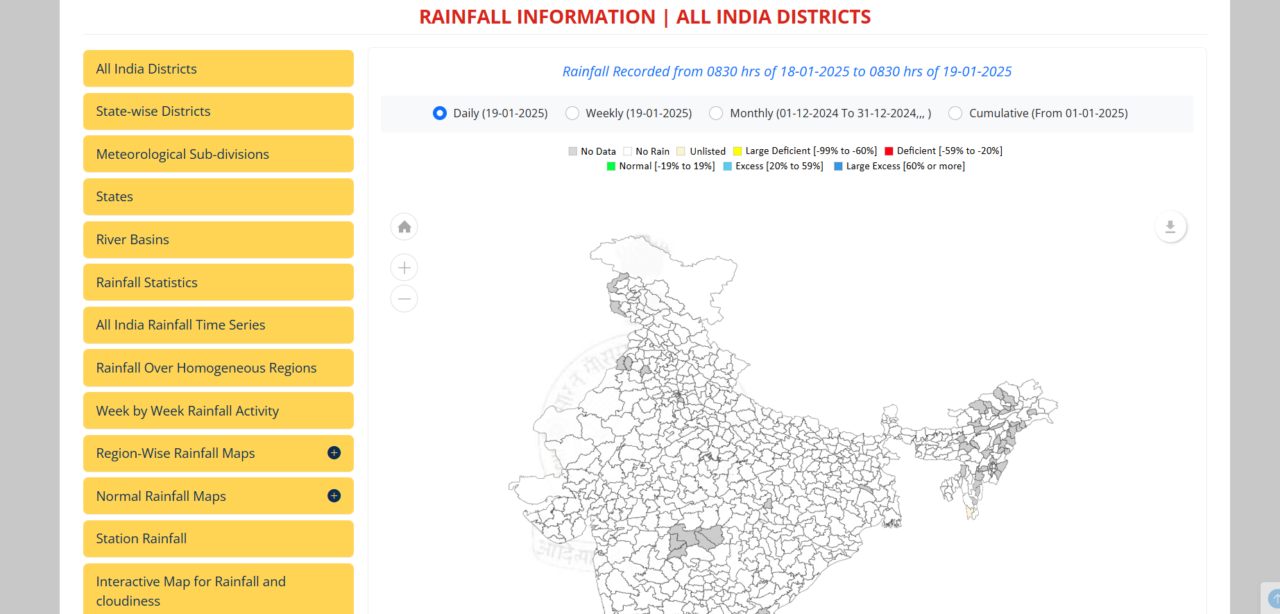
Explore monthly and annual rainfall trends across different regions, including variations and patterns over time.
IMD Rainfall Data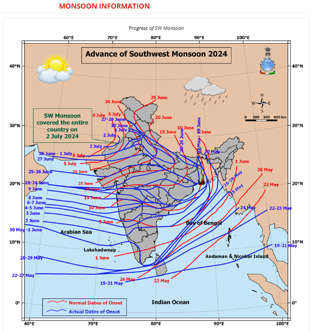
Access detailed reports on monsoon variability and the impact of seasonal changes on regional weather patterns.
IMD Reports
Discover the climate vulnerability index across different states and regions, highlighting potential risks and threats.
Climate Vulnerability Assessment (MoEFCC)
Get insights into areas prone to natural disasters such as floods, droughts, and cyclones.
National Disaster Management Authority (NDMA)Explore the latest river water quality indices and pollution levels across different industrial belts.
CPCB Water Quality MonitoringTrack pollution levels in major industrial zones and the impact on water quality.
National Mission for Clean GangaAccess data on plastic waste generation, recycling, and handling efficiency across different states.
Plastic Waste Management ReportsDiscover e-waste handling data, including disposal methods and recycling rates.
Extended Producer Responsibility (EPR) Data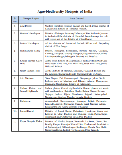
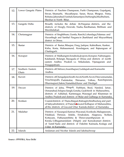
Explore information on biodiversity hotspots across India, highlighting rich ecosystems and protected areas.
Biodiversity India Database
Discover ongoing and completed projects aimed at conserving India's biodiversity and ecosystems.
National Biodiversity Authority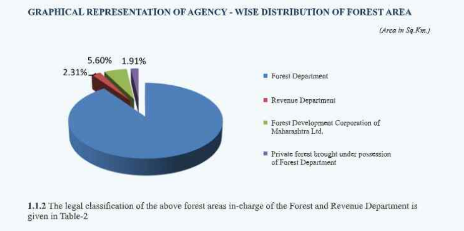
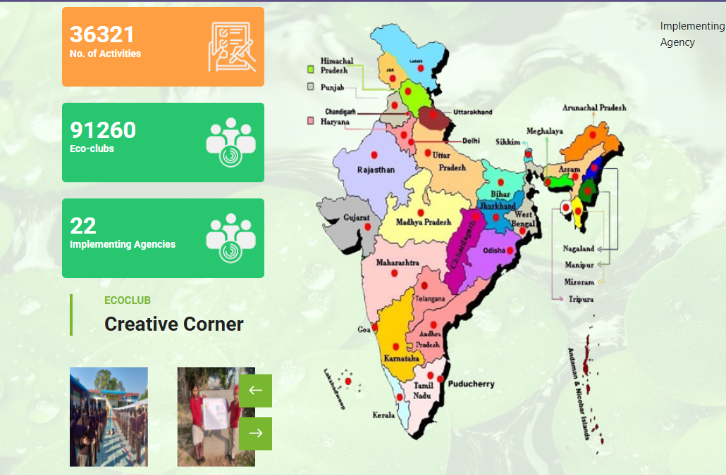
Discover the number of schools and colleges participating in Eco-Clubs under the National Green Corps.
National Green Corps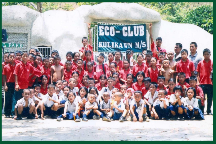
Learn about the impact of various awareness campaigns conducted under the Eco-Clubs initiative.
View Impact Reports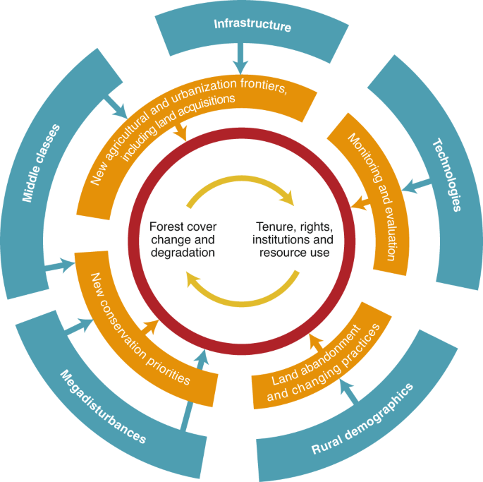
Discover forest-based livelihood programs and funds allocated under Van Dhan Yojana for tribal communities.
Tribal Affairs Ministry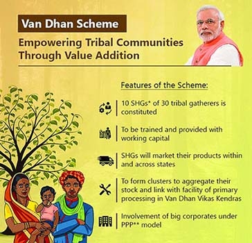
Learn how Van Dhan Yojana supports tribal communities through financial aid and livelihood generation.
Van Dhan Dashboard


DocRoSh Global Foundation
18th Floor, Cyberone, Pranavanandji Marg,
Sector 30, Vashi, Navi Mumbai,
Maharashtra 400705
India
+91 7039 007 323
info@docroshglobal.foundation
Monday - Friday
Saturday
Sunday
Dolor amet sit justo amet elitr clita ipsum elitr est.